ST. LOUIS — UPDATE: The heavy rain has come and gone Friday morning. Clouds will clear away and sunshine will return Friday afternoon, with highs in the mid to upper 80s.
We'll have a nice, sunny weekend on the way in and around St. Louis with temperatures near seasonal averages. Sunday will be slightly warmer with the 90s returning, but overall humidity levels will not be overly high.
Click here for the full Weather Impact forecast.
Download the free 5 On Your Side app to get the latest watches and warnings and track conditions live with our interactive radar. Use the links below to download now.
5 On Your Side news app
iPhone | Google Play
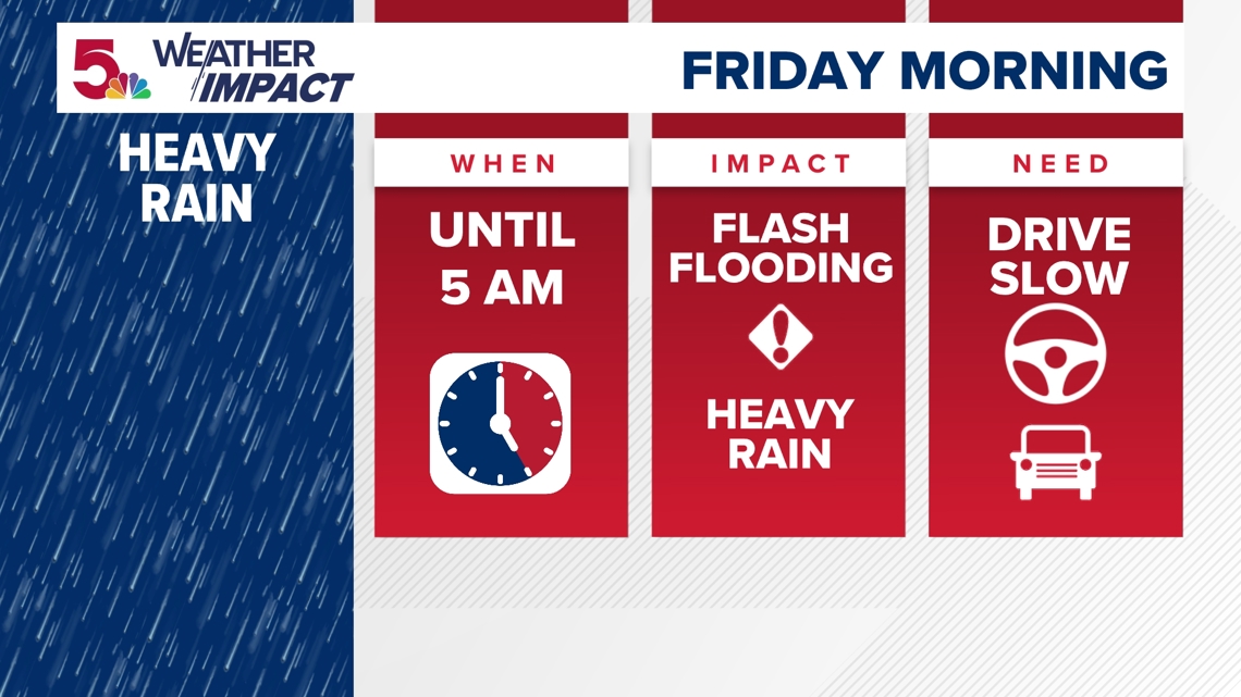
After heavy rainfall Wednesday and Thursday mornings, another round of rain is moving through this Friday morning. Most of the heavy rain is from St. Louis and southward. While severe weather is not anticipated, heavy rain has been creating some issues overnight. Ponding on area roadways and interstates could cause less than ideal conditions for the first half of the Friday morning commute.
Remember, never attempt to drive through flood waters covering any road. Most of the rain is expected to taper off by 5 a.m. in St. Louis, but creeks, rivers and streams will continue to rise for the first half of Friday.

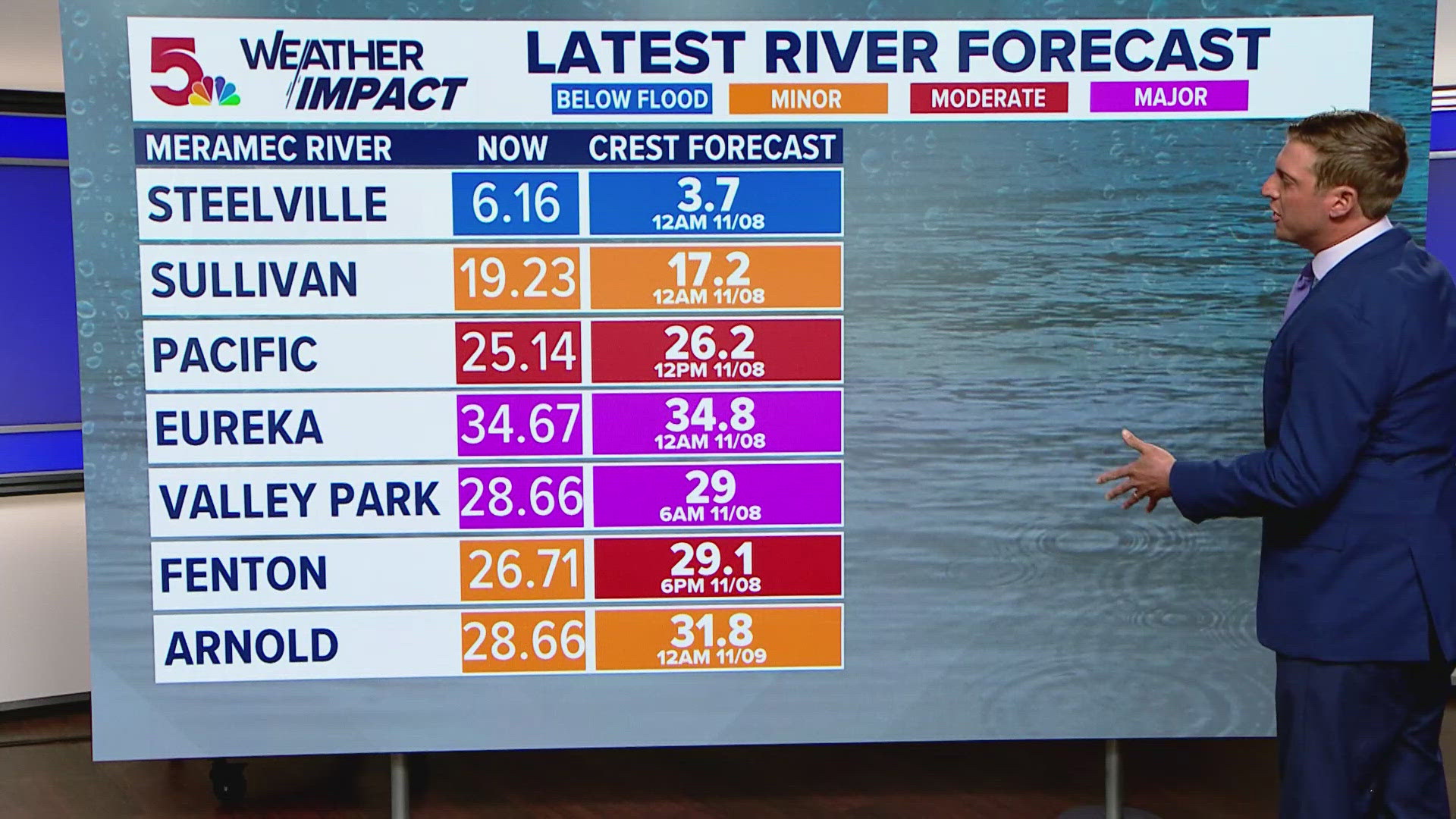
The National Weather Service extended its flood warnings for the Meramec River near Arnold, Missouri, and the Mississippi River at Herculaneum and St. Louis in Missouri and Alton and Chester in Illinois. Moderate flood is forecasted at Hermann, Winfield, Clarksville and Louisiana, Missouri. Otherwise, minor flooding is forecasted on the Missouri and Mississippi rivers.
NWS expects the Meramec River at Arnold to rise above flood stage late Thursday evening and continue rising until early Sunday afternoon due to backwater from the Mississippi River. The Mississippi is expected to rise above flood stage late Thursday evening and continue rising until Sunday morning for Herculaneum, St. Louis and Alton and until early Monday afternoon in Chester.
The unsettled weather should shift away on Friday afternoon with sunshine and lower humidity returning.
RELATED: What is a Weather Impact Alert Day?
To watch 5 On Your Side broadcasts or reports 24/7, 5 On Your Side is always streaming on 5+. Download for free on Roku, Amazon Fire TV or the Apple TV App Store.