ST. LOUIS — The next system poised at St. Louis is looking like a real mess. At different times between Wednesday evening and Friday evening there will be almost every type of precipitation in the weather textbook.
Let's begin with Wednesday evening. The National Weather Service has issued a Winter Weather Advisory that will go into effect Wednesday at 6 p.m. and extend through noon Thursday.
Light snow will kick things off. Up to an inch of snow is possible overnight Wednesday into Thursday. Our far western counties could see upwards of two inches.
Wednesday's snow will transition to a wintry mix at times which will cause a layer of ice to form. Ice accumulations are not forecast to exceed 1/10th of an inch.
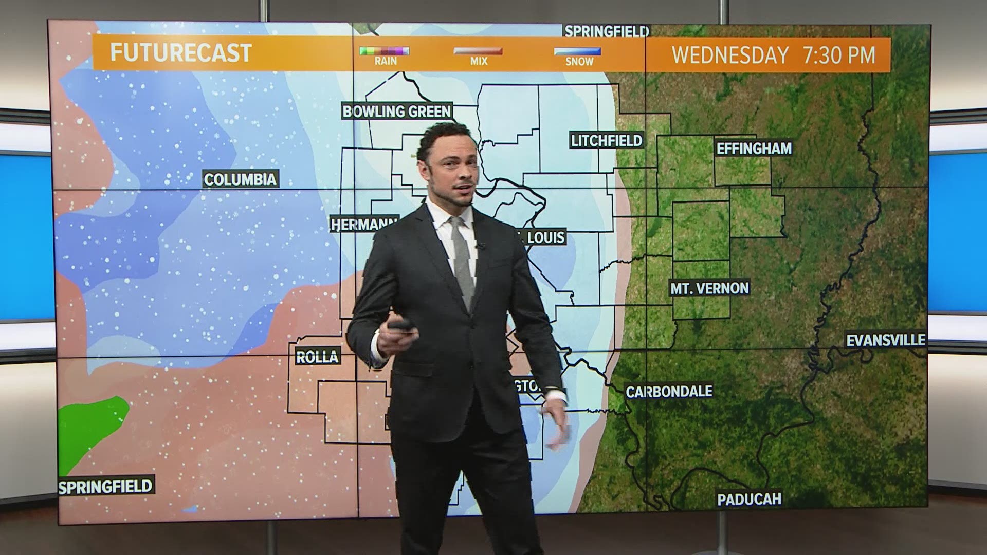
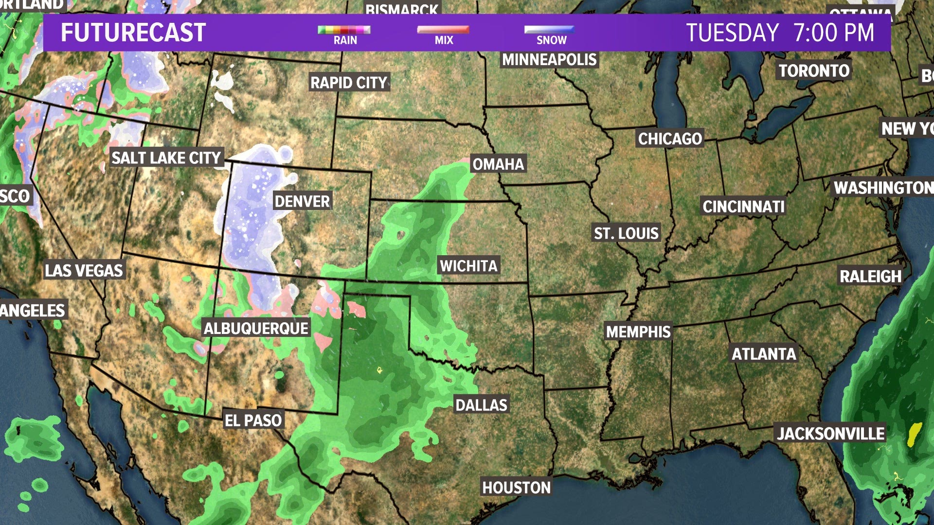
Beyond Wednesday night, broadly think snow at night and rain during the day for the Metro area. The video below is the Futurecast for Wednesday through Friday. You'll easily see why this system is so tricky to forecast.
RELATED: Live interactive radar
Rain will take up most of the day Thursday, which is great news because it will rapidly melt away Wednesday night's snow. So we should have a clean slate for the second round of snow.
Around sunset Thursday, rain will transition to snow. As usual, during the switch freezing rain is possible, so ice may build up. Snow will fall overnight. Another 1-2 inches of snow is expected Thursday night into Friday.
Some areas in Illinois may not have snow overnight on Thursday. If this system tracks through as the Futurecast video above shows, then Illinois residents can expect rain. The 5 On Your Side weather team will be monitoring temperatures closely to see which areas will have rain or snow.


5 On Your Side weather app
iPhone | Google Play
5 On Your Side news app
iPhone | Google Play
Measuring snowfall between Wednesday night and Friday will be challenging. As rain comes through during the Thursday and Friday it will quickly melt away the snow that accumulated from the previous night.
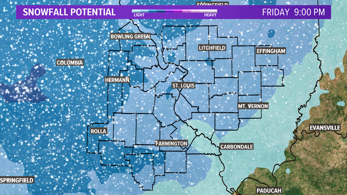
Overall, most areas in the 5 On Your Side coverage area will see about two inches from this storm. The counties in the medium blue shade on the map above could see closer to four inches. The counties in the lightest blue shade could end up with only an inch. BUT, as long as snow transitions to rain as forecast on Friday most areas will not have much snow to remember this system by.


